19 September 2008
"blacks against obama"
a group of protesters interrupts senator barack obama's campaign speech on 'women's issues' at coral gables, florida, friday 19 september 2008.
note: breitbart.tv has a slightly longer, hi-res version of this clip here.
related posts
====
video: president bush makes statement on plan to save wall street
on the morning of friday 19 september 2008 president george w. bush flanked by treasury sec'y, henry m. paulson, jr., federal reserve chairman, ben bernake and securities and exchange commission chairman, christopher cox, proclaims a "pivotal moment in america's economy."
president bush says that "problems that originated in the credit markets and first showed up in the area of sub-prime mortgages have spread throughout our financial system. this has led to an erosion of confidence that has frozen many financial transactions including loans to consumers and to businesses seeking to expand and create jobs as a result we must act now to protect our nations economic health from serious risk ."
and oh yeah, president bush says that "the securities and exchange commission has issued new rules temporarily suspending the practice of short-selling on the stocks of financial institutions. this is intended to prevent investors from intentionally driving down particular stocks, for their own personal gain. the sec is also requiring certain investors to disclose their short-selling and has launched rigorous enforcement actions to detect fraud and manipulation in the market. anyone engaging in illegal financial transactions will be caught and persecuted."
related posts
18 September 2008
louisiana attorney general buddy caldwell warns about haynesville shale fraud
UPDATE: see gannett/town talk: ag warns of haynesville shale mineral rights leasing scams [.pdf]
a couple of days ago, mybossier blog posted a guest piece from central louisiana blogger, alexcenla in which they recount their experience with oil and gas companies relative to similarly situated property they own in south louisiana. see haynesville shale: warning from a friend.
EXTERNAL LINK
17 September 2008
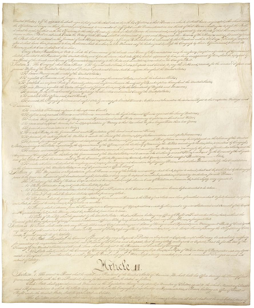
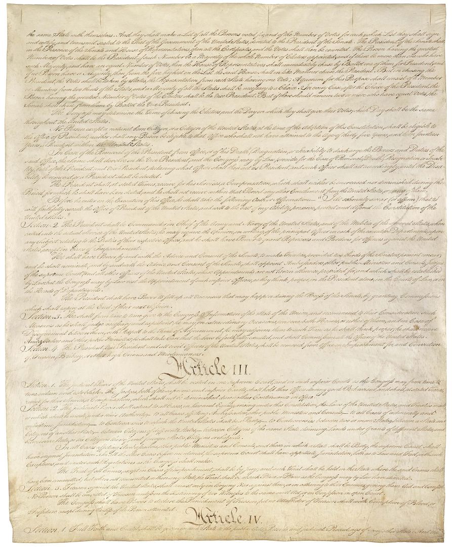
a salute to our u.s. constitution by chuck baldwin
constitution of the united statespage - 2
page - 3
page - 4
====
On this date in 1787, the U.S. Constitution was adopted. 39 delegates from 12 of the 13 colonies (Rhode Island did not send a representative) affixed their signatures to the greatest civil document ever conceived by men. Famous patriots such as George Washington, Roger Sherman, Alexander Hamilton, Benjamin Franklin, Robert Morris, Gouverneur Morris, James Madison, George Clymer, and Abraham Baldwin were among this gallant group.
Under divine Providence, it has been allegiance to the Constitution that has preserved our liberties and protected our very way of life. Most of the problems, failings, and frustrations that plague our nation today are due to the propensity of our civil magistrates to ignore or blatantly abuse constitutional government. Accordingly, fidelity to the Constitution would likely repair most of the damage done by this neglect.
It is the responsibility of a free people to jealously guard the principles upon which their liberties are predicated. For citizens of these United States, the principles that duly protect our liberties are contained in the U.S. Constitution, Bill of Rights, and Declaration of Independence. Therefore, it is incumbent upon every American to studiously familiarize himself with these documents.
Furthermore, it is the duty of every American to stubbornly hold their elected representative, at every level of government, accountable to his or her oath to the Constitution. The U.S. Constitution is the contract that every civil magistrate makes with "We the People." Failure of an elected representative to fulfill that oath to the Constitution should be met with swift and certain rejection by the people at the polls. Nothing else should matter. Republican or Democrat, man or woman, black or white, believer or unbeliever: it is the responsibility of every civil magistrate to submit to the restrictions and instructions of the Constitution.
Our Constitution (along with the Bill of Rights and Declaration of Independence) was formed, framed, and founded upon the eternal principles contained in Natural Law, which proceeds forth from man's Creator and Redeemer. No people in human history have ever been so blessed as the people of the United States to inherit such a legacy. Such a heritage serves only to heighten our own responsibility, as "unto whomsoever much is given, of him shall be much required."
On this Constitution Day of 2008, may this generation of Americans live up to its responsibility to valiantly bequeath to our posterity the same legacy of freedom that was so bravely and miraculously bequeathed to us. For the sake of freedom, for the love of our children, and for the safety and security of our republic, may each of us determine for ourselves--and commit to Almighty God--to "preserve, protect, and defend the Constitution of the United States."
*Disclaimer: I am currently a candidate for President of the United States on the Constitution Party ticket. Click here for my official campaign web site.
Chuck Baldwin is Founder-Pastor of Crossroads Baptist Church in Pensacola, Florida. In 1985 the church was recognized by President Ronald Reagan for its unusual growth and influence.
Dr. Baldwin is the host of a lively, hard-hitting syndicated radio talk show on the Genesis Communications Network called, "Chuck Baldwin Live" This is a daily, one hour long call-in show in which Dr. Baldwin addresses current event topics from a conservative Christian point of view. Pastor Baldwin writes weekly articles on the internet http://www.ChuckBaldwinLive.com and newspapers.
To learn more about his radio talk show please visit his web site at: www.chuckbaldwinlive.com. When responding, please include your name, city and state.
E-mail: chuck@chuckbaldwinlive.com
related posts
m/v antalina crew safe; reportedly returned to port arthur, texas
when we first learned of the plight of the m/v antalina, a freighter ship stranded at sea without power and forced to ride out hurricane ike, our thoughts and prayers immediately went out to the crew.
it brought back to mind our u.s. navy days when we were returning to our homeport at naval station norfolk, virginia from naval station guantanamo bay cuba. at gitmo, our ship and crew had just undergone intensive eight week refresher training (reftra) which was pretty awful itself.
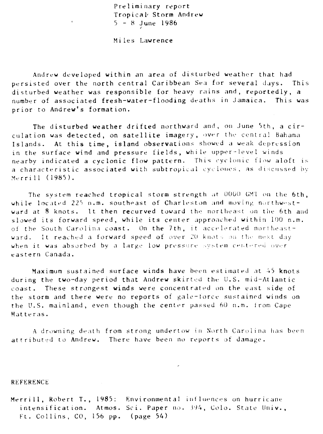
somewhere between cuba and norfolk we went through a tropical depression or tropical storm or hurricane dont remember which one, (probably tropical storm andrew) but even it it was just a 'mere' tropical depression or disturbance -- that was more than enough to make you never want to experience anything like it again.
despite the fury of the sea, we never were in fear for our lives in that our ship was going to fail us by capsizing or breaking apart and sinking. our ship an 11,500 ton, nuclear powered guided missile cruiser which had just undergone an 18 month long complex overhaul (coh) by the good men and women at the norfolk naval shipyard, portsmouth virginia, (hence the reason we were undergoing reftra) was at the top of her game. we were at the top of our game back then too.
one of the necessary precautions that the old man ordered was material condition zulu set throughout the ship. this meant that all of the watertight doors and hatches had to be shut and dogged down. this made it even more of a challenge to get around as you had to stop and open a watertight door then close it and dog it down behind you. try doing this about every thirty feet whilst enduring heavy pitches and rolls.
what was most interesting about the whole experience was going up and down ladder wells. when the ship heaved upward you would feel heavy like a weight was pushing down against you. then when the ship came crashing down you would feel very light and could almost fly up the ladder. this effect was most pronounced the more forward you were.
so while our experience riding out a storm at sea was harrowing, we could only imagine what the men of the m/v antalina were going through. especially, with it being reported that their ship had no power, propulsion and loss of steerage.
that storm wasnt the most frightening experience we had in the navy. the most frightening event was a flood and fire in the number one emergency diesel generator room. the no.1 edg was a rather large space slightly forward and below our berthing compartment. it contained a huge diesel engine perhaps, the size of a diesel locomotive engine.
late one night a hatch or valve or something broke down there and the flooding caused a class charlie fire. a shipmate, a turd chaser from new jersey, nearly drowned making repairs. he had to be medevaced off the ship. the next time the eagle shit his division officer was on the mess deck taking up a collection for his family who had came in to be with him. his d.o. told us that due to the extent of our shipmates injuries and oxygen deprivation he was reduced to a comatose, vegetative state.
excerpt:
(CNN) -- A tugboat on Saturday [13 september 2008] reached a disabled freighter carrying 22 people, hours after the ship road out Hurricane Ike without power, Coast Guard spokesman Mike O'Berry said.EXTERNAL LINK
O'Berry said the tugboat Rotterdam arrived shortly before 2 p.m. (3 p.m. ET).
Repairs will be made aboard the Antalina, which has a broken fuel pump, while at sea, O'Berry said.
The tugboat will then tow the ship to Port Arthur, Texas, where it will undergo additional repairs and eventually offload more of its cargo -- petroleum coke, a petroleum byproduct -- O'Berry said.
The crew members aboard the Antalina, a Cypriot-flagged freighter, are all in good health, said Coast Guard Cmdr. Ron Labrec.
The freighter suffered no major damage from the storm, said Darrell Wilson, a spokesman for the company that manages the ship.
Aircraft from the Coast Guard and Air Force were sent Friday afternoon to try to rescue the crew of the freighter. But high winds forced the military to abort the rescue, O'Berry said.
The Coast Guard then instructed the freighter to contact it each hour. It also told told the crew to turn on the ship's emergency radio beacon so its position could be monitored, O'Berry said.
[...]
The stranded freighter had been headed south through the Gulf of Mexico from Port Arthur, Texas, but "lost main propulsion 90 miles southeast of Galveston" and was unable to steer, the Coast Guard said.
The Coast Guard received a distress call from the vessel at 4 a.m. Friday. The Antalina was "basically adrift, at the mercy of the wind and sea currents," Coast Guard Petty Officer Tom Atkeson said at the time.
"We are in hell," one of the men aboard the freighter told CNN on Friday before the rescue was called off. The man said the winds around the ship were strong but that the freighter still had power. ~ read more
donations of hay and cattle feed to supply cattle in coastal areas left stranded by the storm surge of hurricane ike requested
a pasture and oaks near road 1between labadieville and napoleonville. louisiana,
taken 02 july 2005 ~ source
via: the gannett/town talk:
Louisiana Department of Agriculture and Forestry Commissioner Mike Strain has put out a statewide call for donations of hay and cattle feed to supply cattle in coastal areas left stranded by the storm surge of Hurricane Ike.EXTERNAL LINK
“There are thousands of cattle stranded by high water in Cameron, Vermilion, Plaquemines, Lafourche, Terrebonne and other parishes and they’re going to need hay and feed,” Strain said. “If you can donate hay or feed, call the Louisiana Cattlemen’s Association and give them your information.”
The LDAF will distribute the hay to the areas where it is needed most, according to Strain.
The phone number for the Louisiana Cattlemen’s Association is (225) 343-3491.
The phone number for the LDAF is (225) 922-1234 or 800-558-9741.
Receipts for the donations can be obtained through the Louisiana Cattleman’s Association, the National Cattlemen’s Foundation and the Fellowship of Christian Farmers among others.
15 September 2008
remnants of hurricane ike final
alexandria, louisiana's klax-tv broadcast a package of stories recapping hurricane ike and its rampage across texas, louisiana and the united states. originally broadcast 10:00 p.m. cdt sunday 14 september 2008.
starting at galveston, texas the buildings on seawall blvd. have been reduced to rubble.
in louisiana thousands were affected by hurricane ike's storm surge.
video from plaquemines parish, louisiana and mandeville, la. shows storm surge flooding from lake pontchartrain.
residents were surprised by hurricane ike's severity which they say was worse than that caused by hurricane gustav.
jefferson parish suffers serious flooding after hurricane ike breached several levees. officials say that the outlook appears worse than hurricane rita.
video of the destruction in kemah, texas and seabrook, texas.
klax reports that alexandria, louisiana fared much better with hurricane ike than hurricane gustav.
remnants of hurricane ike dropped nearly seven inches of rain on chicago causing record flooding there. this is the heaviest record of rainfall in chicago since record keeping began in 1871.
000
WTNT34 KWNH 150314
TCPAT4
PUBLIC ADVISORY NUMBER 56 FOR REMNANTS OF IKE
NWS HYDROMETEOROLOGICAL PREDICTION CENTER CAMP SPRINGS MD AL092008
1000 PM CDT SUN SEP 14 2008
FLOOD WATCHES AND WARNINGS ARE IN EFFECT FOR PARTS OF SOUTHEAST TEXAS INTO EASTERN LOUISIANA...ARKANSAS...EASTERN OKLAHOMA...EASTERN KANSAS...MISSOURI...ILLINOIS...NORTHWEST INDIANA...AND MICHIGAN. SEE WWW.WEATHER.GOV FOR THE MOST CURRENT WATCHES AND WARNINGS.
AT 1000 PM CDT...03Z...LOW PRESSURE WAS LOCATED NEAR LATITUDE 44.8 NORTH...AND LONGITUDE 79.1 WEST...OR 135 MILES NORTHWEST OF ROCHESTER NY...OR 70 MILES NORTH OF TORONTO CANADA. THE LOW IS MOVING NORTHEAST AT 50 MPH OR 80 KM/HR.
THE LOW WILL RACE NORTHEASTWARD...ALONG A FRONTAL BOUNDARY...ACROSS SOUTHERN ONTARIO AND QUEBEC...INTO LABRADOR LATE MONDAY.
MAXIMUM SUSTAINED WINDS ARE 30 MPH...48 KM/HR...WITH GUSTS OF 40 MPH...64 KM/HR. THE MINIMUM CENTRAL PRESSURE WAS 986 MB...OR 29.11 INCHES.
SELECTED HIGH WIND REPORTS SINCE 700 AM SUNDAY
LOUISVILLE KY 75 MPH
COVINGTON KY 74 MPH
HUNTINGBURG IN 67 MPH
FORT KNOX KY 64 MPH
OWENSBORO KY 63 MPH
WALNUT RIDGE AR 62 MPH
POPULAR BLUFF MO 61 MPH
CINCINNATI/LUNKIN 61 MPH
SELECTED STORM TOTAL RAINFALL AMOUNTS IN INCHES THROUGH 1000 PM CDT
...LOUISIANA...
CALCASIEU RIVER NEAR GLENMORA--------- 7.62
DENHAM SPRINGS 6.8N --------------------------5.78
AMITE RIVER AT GRANGEVILLE---------------- 4.98
OUISKA CHITTO CREEK NEAR OBERLIN------ 4.54
BAYOU COCODRIE NEAR CLEARWATER------ 4.27
NATCHITOCHES -----------------------------------3.69
GRAND ENCORE----------------------------------- 3.77
JONESBORO---------------------------------------- 3.45
WEST MONROE 4.1 NW--------------------------- 4.42
ANACOCO 13.7 SW-------------------------------- 2.75
ALEXANDRIA 5SSE-------------------------------- 2.93
CLEARWATER-------------------------------------- 2.91
ELMER 2SW----------------------------------------- 2.87
MONROE-------------------------------------------- 2.45
...TEXAS...
PEASE RIVER NEAR VERNON 18.09
HOUSTON 15.75
SPRING BRANCH (HARRIS COUNTY) 15.20
CYPRESS CREEK (HARRIS COUNTY) 14.21
HALLS BAYOU (HARRIS COUNTY) 13.94
CONROE 4S 13.55
PANTHER BRIDE NEAR SPRING 13.14
WESTFIELD 6W 12.72
NECHES RIVER AT EVADALE 12.53
EVADALE 12.32
COLE CREEK AT DEIHL ROAD 11.03
HOUSTON - C.R. RD BHG 10.95
HARRIS GULLEY (HARRIS COUNTY) 10.71
GOOSE CREEK (HARRIS COUNTY) 10.39
HUMBLE 2N 10.39
BUFFALO BAYOU (HARRIS COUNTY) 10.12
CLEVELAND (SITE 2) 10.01
MOUNT CALM 4E 9.84
HOUSTON 9.49
BUNKER HILL 1SW 9.46
ADDICKS - SO. MAYDE CK 9.22
HOUSTON - COLE CK DEIHL RD 9.21
SPRING 3NW 9.20
HOUSTON - BRAYS BAYOU S MAIN ST 9.14
HOUSTON 9.02
HOUSTON-LANGHAM CK@LITTLE YORK R 8.89
JERSEY VILLAGE 8.74
PASADENA 1NE 8.35
...ARKANSAS...
BIG FORK 2ENE 5.09
EUREKA SPRINGS 4.51
ATHENS 4.51
BERRYVILLE 5NW 4.07
WINSLOW 10WSW 3.97
WINFREY 3.82
BEAVER DAM-WHITE RIVER 3.76
DEER 3.73
...MISSOURI...
CLINTON 0.9 NNW 8.93
KIRKSVILLE 8.14
CLINTON 7.56
COLOMA 7.56
HOUSTON 4.5 WSW 7.41
COLUMBIA 3.6SW 7.19
NEVADA 2.3 WNW 7.11
DOWNING 6.93
SAVERTON - LOCK & DAM 22 TW 6.92
ASHLAND 0.7 WNW 6.86
WINDSOR 6.73
TROY 6.63
BRUSH CREEK AT WARD PARKWAY KC 6.46
GREEN RIDGE 0.3 NNW 6.61
RUSSELLVILLE 5.9 SE 6.02
OFALLON 5.84
...KANSAS...
MAIZE 5.7S 11.44
UDALL 4.2 ENE 11.02
PLYMOUTH 1SW 10.26
LEON 7.5 SW 10.01
WICHITA MID CONTINENT AIRPT 9.56
PARK CITY 3.0 WSW 9.18
EMPORIA 5.5 NNE 9.08
EL DORADO 7.9 NNW 8.90
SMILEYBERG 8.88
ROSE HILL 2.7 ESE 8.39
AUGUSTA 1WNW 8.36
EL DORADO 4NE - DAM (INACT) 8.03
ROCK 7.95
EL DORADO (CITY WATER PLANT) 7.79
NEOSHO RAPIDS 7.59
AUGUSTA 7.42
THRALL 4S 7.38
ROSALIA 7.25
MADISON 6.80
...OKLAHOMA...
MOORELAND 0.4 ESE 5.82
SAYRE 5.8 NW 4.66
KANSAS 1ESE 4.56
DRAKE FIELD 4.35
ERICK 0.2 NE 4.35
TALIHINA 3ENE 4.30
MAYO-L&D 14 4.22
NEW EUCHA 5W 4.11
GRANITE 0.6 WSW 4.08
ELDON 4.05
WINSLOW 7NE 4.01
MIAMI 4.00
COLCORD 4N 3.97
HINDSVILLE 3.85
DEVILS DEN STATE PARK 3.85
KANSAS 2NE 3.85
ADDITIONALLY...A FRONT IN THE MIDWEST COMBINED WITH MOISTURE FROM FORMER EAST PACIFIC TROPICAL DEPRESSION LOWELL TO PRODUCE HEAVY RAINS FRIDAY INTO SATURDAY. THE RAINFALL WAS LATER ADDED TO BY THE REMAINS OF IKE ON SUNDAY. HERE ARE THE MULTI-DAY AND MULTI-EVENT TOTALS THROUGH SUNDAY 7 PM CDT (SEPTEMBER 12-14).
IOWA...
OAKLAND MILLS 3W 7.60
DONNELSON 7.07
MOUNT PLEASANT 7.04
BURLINGTON 6.5N 6.97
LONDON 1.5 SW 6.96
WAPELLO 6.71
KEOSAUQUA 6.06
FORT MADISON 5.54
LE CLAIRE 0.2 ESE 5.35
DAVENPORT 0.9 SSW 5.12
BEDFORD 1 NNW 5.11
...ILLINOIS...
PEOTONE 10.40
WHEATON 1.7N 9.36
ELBURN 0.4 NW 9.29
PARK RIDGE 9.15
ST CHARLES 9.03
SALT CREEK AT ROLLING MEADOWS 9.20
PARK FOREST 0.8 NNE 8.80
EVANSTON 1.4N 8.76
FERSON CREEK NEAR ST. CHARLES 8.74
ELK GROVE 8.74
BARTLETT 8.58
ST CHARLES 7NW 8.48
PAW PAW 8.38
DES PLAINES 0.5 NW 8.18
KEITHSBURG 7.98
BRADLEY 7.90
WEST CHICAGO 2.7N 7.89
MILL CREEK NEAR BATAVIA 7.72
KEWANEE 1E 7.59
CARBON HILL 3N 7.45
ROGERS PARK 7.37
CHICAGO O'HARE AIRPORT 7.25
...INDIANA...
PORTAGE 0.8 SW 11.46
SOUTH BEND 3.7 SE 10.94
CROWN POINT 3.1 WSW 10.83
VALPARAISO 1.3 SSW 9.78
HART DITCH AT DYER 8.33
LA PORTE 1.2 7.97
PORTER 0.8 E 7.84
SOUTH BEND 7.72
CHESTERTON 1.7 WSW 7.68
WESTVILLE 4.7 ESE 7.52
KINGSBURY 1N 6.59
VALPARAISO 5NNE 6.51
HART DITCH 5.87
WANATAH 5.18
SHOALS 4.99
LOWELL 4.48
GARY 3.64
...MICHIGAN...
SOUTH HAVEN 6.68
MARSHALL 6.32
BATTLE CREEK/W K KELLOGG AIRPORT 6.16
BLOOMINGDALE 5.92
BENTON HARBOR/SW MI RGNL APT 5.77
FARMINGTON HILLS 5.36
OKEMOS 5.22
KALAMAZOO INTL ARPT 4.57
JACKSON/REYNOLDS FIELD 4.47
BLOOMINGDALE 4.46
CLARKSTON 4.41
MARSHALL 4.25
BATTLE CREEK 4.17
TIPTON 2WNW 4.02
LUM 3.95
...OHIO..
MILL CREEK AT TYLERSVL RD FAIRFLD 7.08
NORWALK 2NW 4.51
LAGRANGE 1NE 4.39
WADSWORTH 1SW 3.79
ALLIANCE 3.64
MEDINA 2N 3.50
FOSTORIA (IFLOWS) 3.35
WEST BRANCH 3.17
FINDLAY AIRPORT 3.17
MEDINA 3.12
ELYRIA 4S 3.11
AKRON/FULTON INTL ARPT 2.97
...PENNSYLVANIA...
MURRYSVILLE 5.41
NEW KENSINGTON (IFLOWS) 4.17
ALLISON PARK 3ESE (IFLOWS) 3.79
WEST DEER PARK (IFLOWS) 3.56
ALLISON PARK 2NE (IFLOWS) 3.51
FERNWAY 2W 3.24
RACHELWOOD (IFLOWS) 3.11
NATRONA 3.11
ACMETONIA (LOCK 3) 2.92
SLIPPERY ROCK 1SSW 2.90
CONEMAUGH DAM 2.85
JEANNETTE 1NE (IFLOWS) 2.47
...WISCONSIN...
GENOA CITY 3.25
FRANKLINSVILLE 2.50
NWS SULLIVAN 2.37
HALES CORNERS 2.32
TWIN LAKES 2.18
...NEBRASKA...
FALLS CITY 2S 3.39
FALLS CITY 3.31
RULO 2W 3.00
SYRACUSE 2.92
SALEM 5SW 2.39
GRETNA 3NE 2.34
IRVINGTON 2.30
LINCOLN 3S 2.28
PAWNEE CITY 2.24
OMAHA - 125TH & FORT STS 2.14
PAPILLION 6NW 2.14
AUBURN 2.00
THE PRIMARY HEAVY RAINFALL IS MOVING ALONG WITH THE REMNANTS OF IKE INTO CANADA. RAINFALL AMOUNTS ARE EXPECTED TO RANGE FROM HALF TO ONE INCH ALONG THE US/CANADA BORDER FROM NEW YORK TO MAINE.
A SEVERAL HOUR PERIOD OF STRONG WINDS WILL ALSO ACCOMPANY THE SYSTEM ACROSS NORTHERN PARTS OF NEW YORK STATE...VERMONT....NEW HAMPSHIRE...AND MAINE. WINDS OF 30 TO 40 MPH WILL BE POSSIBLE WITH HIGHER GUSTS. THE STRONGEST WINDS SHOULD BE OVER HIGHER ELEVATIONS.
REPEATING THE 1000 PM CDT POSITION...44.8 NORTH...AND LONGITUDE 79.1 WEST. MAXIMUM SUSTAINED WINDS...30 MPH WITH GUST TO 40 MPH...MINIMUM CENTRAL PRESSURE...986 MB.
THIS WILL BE THE LAST ADVISORY ISSUED BY THE HYDROMETEOROLOGICAL PREDICTION CENTER. PLEASE REFER TO YOUR LOCAL NATIONAL WEATHER SERVICE OFFICE...ENVIRONMENT CANADA...OR THE OCEAN PREDICTION CENTER FOR FURTHER INFORMATION ON THIS STORM.
FORECAST POSITIONS
INITIAL 15/0300Z 44.4N 79.0W...EXTRATROPICAL
12HR VT 15/1200Z 48.0N 68.5W...EXTRATROPICAL
24HR VT 16/0000Z 51.3N 58.5W...EXTRATROPICAL
$$
14 September 2008
hurricane ike remnant continues rampage across the heart land
the clip begins with news correspondent janet shamlian in galveston, texas at a destroyed strip mall center on seawall boulevard. ms. shamlian also notes that galveston's historic balinese room was 'completely flattened.'
ms. shamlein says that the bulk of the damage is expected on the west end of galveston and that authorities still cant get in to properly assess it. there is no power or water in galveston.
in missouri we learn from gary christman, chief of the city of st. louis emergency management agency, that hurricane ike remnants brought 3 - 6 inches (8 - 15 cm) of rain and 40 - 65 mph (64 - 105 km/h) gusts of wind in the st. louis, missouri area. roads were flooded and water rescues were required as well as several evacuations. this morning about 91,000 customers were without power in the st. louis area.
in chicago there is record flooding.
in michigan: saginaw, lansing and detroit are some of the areas receiving heavy rain and potential flash floods.
originally aired sunday 14 september 2008
hurricane ike damage at beaumont, texas
the aftermath of hurricane ike is extensive damage and heavy flooding at beaumont, texas. kristin dahlgren reports that it could take several weeks to get electrical power restored. many refineries are without power and may not have power for more than a week which means that gas supplies may be down.
originally aired on sunday 14 september 2008
UPDATE: kristin dahlgren reports that gas lines are around two hours long at the only gas station open in the beaumont, texas area. it could be more than a month before power is fully restored to beaumont.
the refineries at beaumont are not able to open now and some might not be able to open for at least a week.
clip contains some over-head footage of galveston shot from a helicopter.
jeff ranieri is at 306 beach drive, surfside beach, texas where he reports that 40 homes were destroyed; 50 damaged. mr. ranieri says that there has not been a block in surfside beach that has not been touched by hurricane ike.
in msnbc's first person segment brent scott from columbia, missouri sends a picture of a flooded foot-bridge over perche creek, mcbaine, missouri about five miles south of the mississippi river.
originally aired sunday 14 september 2008
excerpt: Less than 48 hours after it flickered off, the electricity for most of downtown Beaumont was back on.
The lights popped back on at 1:23 a.m. CDT Monday morning. (15 September 2008) ~ read more
====
13 September 2008
remnants of hurricane ike in central louisiana
hurricane ike came ashore at 2:10 a.m. cdt at galveston, texas and 20 hours later central louisiana is still feelings its effects.
kalb meteorologist sarah black gives the central louisiana, alexandria and rapides parish forecast in the 10:00 p.m. news broadcast from saturday 13 september 2008.
galveston, texas post hurricane ike news conference 13 september 2008
galveston, texas mayor lyda ann thomas and galveston city manager steve leblanc discuss hurricane ike's impact upon their city.
UPDATE: galveston, texas post hurricane ike news conference sunday 14 september 2008
clip of galveston, texas post hurricane ike news conference from sunday 14 september 2008. galveston city manager steve leblanc gives an update as to his city's status in the aftermath of hurricane ike.
we're sorry but this news conference was already in progress when we stumbled across it.